The Prehistory of the Billings Rimrocks
Understanding Where our Cliffs Came From
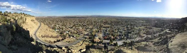
Billings wouldn’t be Billings without the Rimrocks. They’re a landmark, a way to tell which direction is north. They’re a recreation destination providing miles upon miles of biking and hiking paths. They’re a place to hone your rock climbing skills. They provide a great lookout over the city, and they form a natural separation between distinct areas of town.
But why are they here? How did they form? How long have they been around? Montana in general has some amazing geologic history. If you have lived here your entire life, you may just pass right by these unique cliffs and not think twice about how cool it is to have them in our backyards.
A Vast Inland Sea
For hundreds of millions of years the landscapes around the world have been changing. While we see ourselves in the middle of a high plains semi-arid desert, that wasn’t always the case. In fact, for millions of years nearly the entire state of Montana was under the waters of what is known as the Western Interior Seaway. This stretch of water connected the Arctic Ocean to the Atlantic. It spanned thousands of miles north to south, and literally covered the entire middle section of what is now known as the United States.
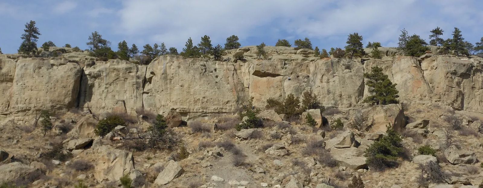
The water levels rose and fell until about 100 million years ago when they started to fall and not rise again. As the waters retreated they deposited sediments, rocks, sands, and dirt. Eventually, somewhere around 85 million years ago, the top of the rims poked up from below the surfaces of the water.
As you move north and to higher ground we can see areas that were exposed to the air much longer than down here in the valley. In the Bull Mountains outside of Roundup vast coal deposits formed out of the marshlands that became compressed and quickly converted from organic matter into bituminous coal (the type ideal for burning).
Shaped by the River Flows
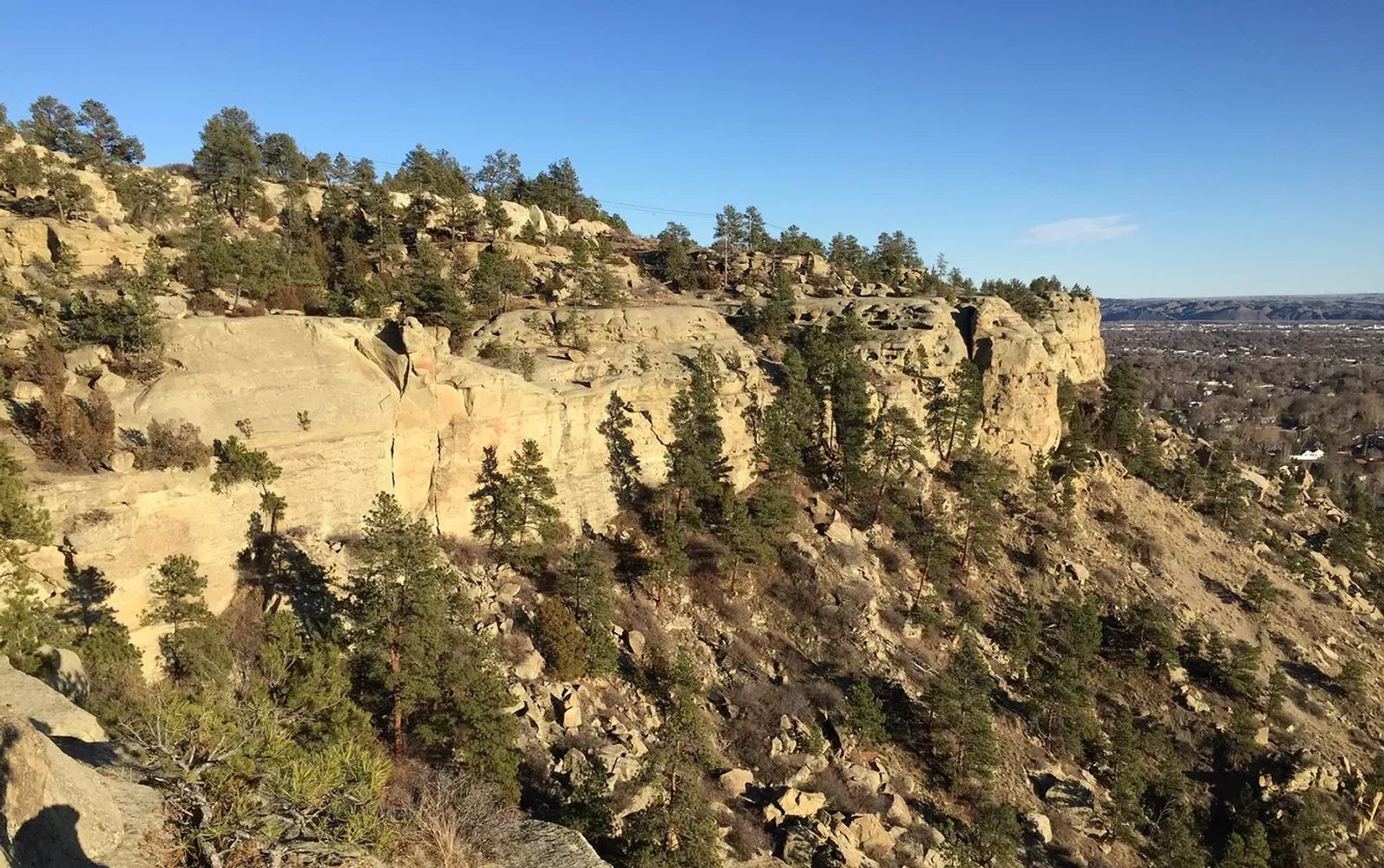
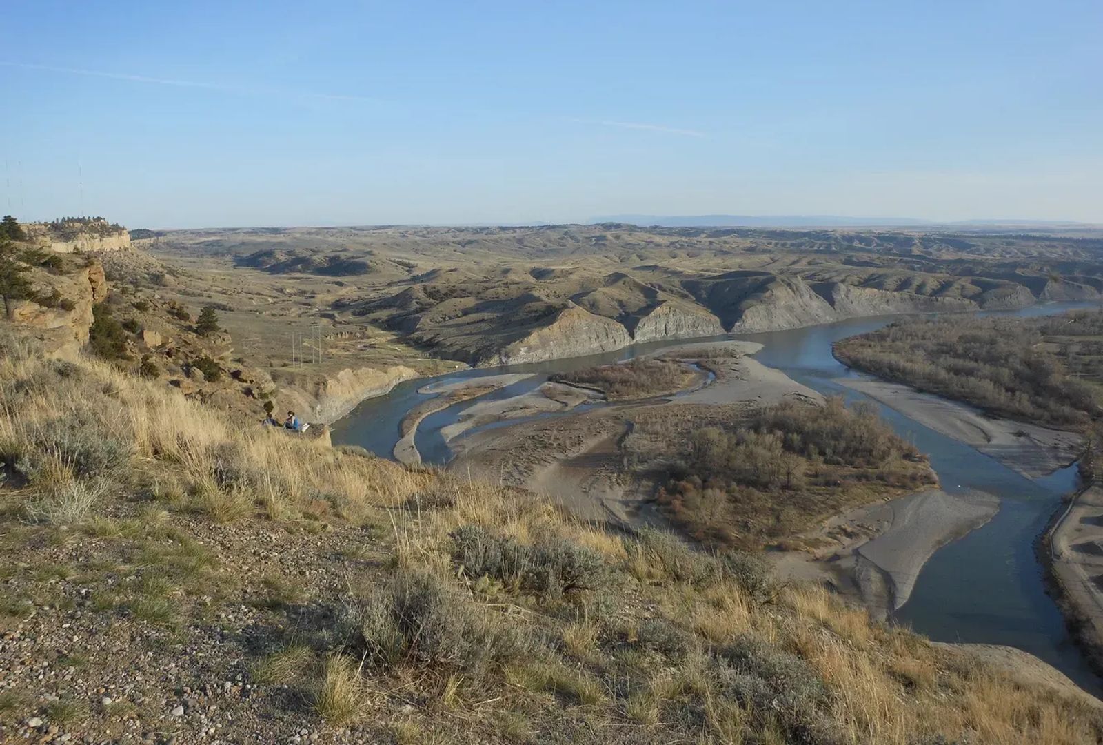
As the Yellowstone Caldera moved beneath the surface, parts of the landscape were lifted. This created lakes at higher elevations, and as they breached their banks they had to flow somewhere. The Yellowstone River made its way through our area, which at the time wasn’t exactly the deep valley we know today. The moving water cut into the rock and dirt below helping to shape the cliffs that we see today.
As the seashores hardened into stone, and as the river cut into the earth, our landscape was formed. The bedrock below the Rimrocks held up the sand and provided a foundation for the immense cliffs, the drying landscape aided by not allowing yearly torrential rains to completely wash away the cliffs.
Providing a Place for Humans
Eventually humans found their way to the area. Over the course of history humans have settled into what are called transition zones. That is the border of land and sea, the border of forest and plains, the border of mountains and prairies, etc. The Yellowstone River running through the region, accompanied by the protection that the natural cliffs provided, created a great transition zone that would allow people to live, at least seasonally, in the area until settlers came in to establish permanent residence.
By Tbennert - Own work, CC BY-SA 3.0, https://commons.wikimedia.org/w/index.php?curid=16092406
The next time you’re out exploring the Rimrocks, or even the next time you see them, remember that most places around the world don’t have these amazing geologic formations. Up on top you’re standing on the shores of an 85+ million year old beach to a sea that stretched from here to Minnesota.
As people came in, the Rimrocks were shaped and changed as well as helping to shape and change the way we settled the area. Next time let’s take a look at who was here before us, how they used the rocks, and where we can see remnants of our ancestors.